Revised Flood Insurance Rate Maps
posted in Community Development on December 5, 2017
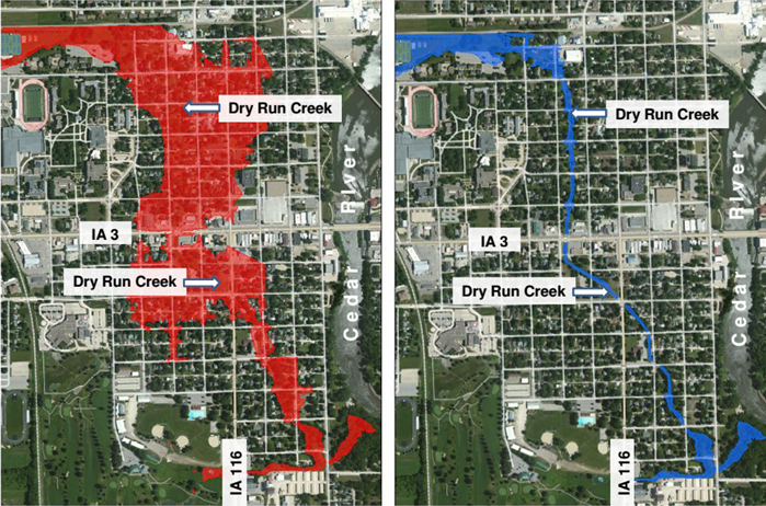
The Flood Insurance Rate Map for Waverly has been revised again by FEMA and will officially be effective December 22, 2017. This new Map Revision is due to the completion of the Dry Run Creek Reconstruction project. The size of the Special Flood Hazard Area (100-year flood) has been substantially reduced in NW and SW Waverly. Below is a before and after effects of the Dry Run Creek 100-year flood hazard area.
If your property was previously included in the Special Flood Hazard Area and is now not included, you may be eligible for a lower insurance rate based upon the Map Revision. You should contact your flood insurance agent to find out how this Map Revision changes your flood insurance coverage and cost after December 22, 2017.
The Community Development Office has larger maps available for viewing in City Hall.
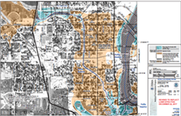
The following is a link to a printable Revised Flood Insurance Rate Map, which includes previous Revisions from the inflatable dam project and the Dry Run Creek improvements:
Waverly website link
If you desire more information, you may visit the FEMA map service center website by clicking the following link:
View the Online Maps by typing in address through this link