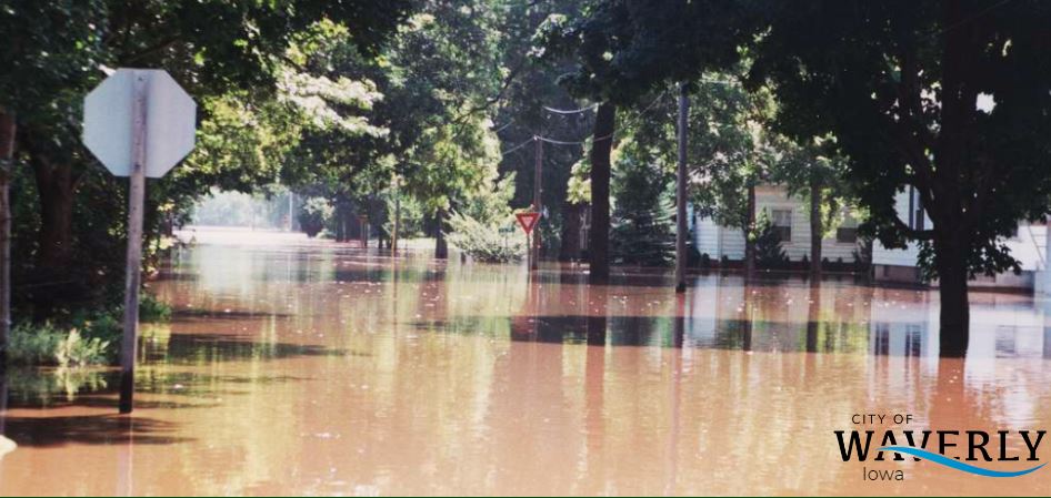
Flood Plain

Waverly participates in the National Flood Insurance Program which allows Federal assistance to be received by residents and flood insurance to be offered to residents through the adoption and enforcement of basic standards for development in the 100 year flood hazard areas (Chapter 102).
Waverly regulates and enforces requirements for properties which are located in the 100 year flood hazard area as shown on National Flood Insurance Rate Maps (FIRM). These maps may be viewed in City Hall or through your local insurance carrier's office.
The maps can be found on FEMA's website as well. Please click here to be directed to their address search engine.

General Information
For Work on Existing Structures:
High risk flood areas are regulated by the City Code and projects require a review of dollar amounts of work compared with one-half (1/2) the assessed structure value. The purpose is to not allow substantial amounts of money to be continually invested in the high-risk property without taking measures to reduce damage to the property and place occupants in danger prior to flood events.
Application Process:
- Complete dimensioned plans showing the work and include the dollar amounts of all interior and exterior work and labor. In addition, will need to be filed concurrently.
- Fill out building permit application (through Permit & Fees).
- Fill out a City of Waverly flood plain development permit (above).
- City of Waverly will review proposed work and compare value of improvements with one-half (1/2) value of structure provided by Bremer County Assessor's office and all previous approved improvements. (An independent appraisal will be accepted from a professional appraiser if value of structure is disputed).
- City of Waverly will approve/deny request and forward permit to Bremer County Building Inspections office for final review and inspection.
Click here for additional flood plain information from FEMA
For New Development in Floodway or Floodplain:
Owners of property who desire to develop or enhance their properties within the flood plain with substantial construction projects or Grading within the Floodway areas will be required to complete a Waverly Flood Plain Development Permit Application. For new building construction, a state-licensed surveyor will be required to complete an elevation certificate.
For new development within the Floodway areas (immediately along the banks of the Cedar River or Dry Run Creek) are required to first consult with the Zoning Administrator for consultation.