Zoning

Zoning Districts in Waverly
To effectively classifty, regulate, and restrict the location of trades, industries, and other land uses, the City of Waverly is divided into fourteen zoning districts. These districts allow the City to manage the height, bulk, and placement of buidlings - whether new construction or alterations.
Each district maintains uniform use, height, and area regulations, ensuring consistency and clarity in development standards. These districts are officially designated as:
- A-1 Agricultural District
- R-1 Residential District
- R-1A Residential District
- R-2 Residential District
- R-3 Multiple Family Residential District
- R-4 Multiple Family Residential--TransitionalDistrict
- R-FBH Planned Factory Built Home District
- S-1 Shopping Center District
- C-1 Commercial District
- C-2 Commercial District
- C-3 Commercial (Central Business) District
- M-1 Light Industrial District
- M-2 Heavy Industrial District
- PD Planned Development District
- U-1 Environmentally Sensitive Protected District
The zoning structure supports Waverly's long-term planning goals and helps preserve the character, safety, and functionality of our community.
Zoning Map Reference
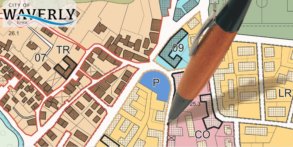
The boundaries of Waverly's zoning districts are delineated on the official Zoning Map of the City, which is hereby incorporated by reference as part of this chapted. All notations, references, and other details shown on the map shall carry the same legal authority as if fully described within the text of the zoning code itself.
This map serves as a vital tool in guiding land use decisions and ensuring consistency with the City's Comprehensive Land Use Plan.
Click here to view the code in its entirety, then select the Zoning section.
The zoning map is on file in the City Clerk's office in Waverly City Hall located at 200 1st Street NE, Waverly, Iowa.
Click the image below to email the Community Development Office or call 319-352-9208.

Additional Resources:
- Iowa State Univeristy created an online guide illustraing key features of zoning codes across the state. Iowa Zoning Online Guide